
RastaCamp Alerts
Live hazards + free water & food near any US ZIP
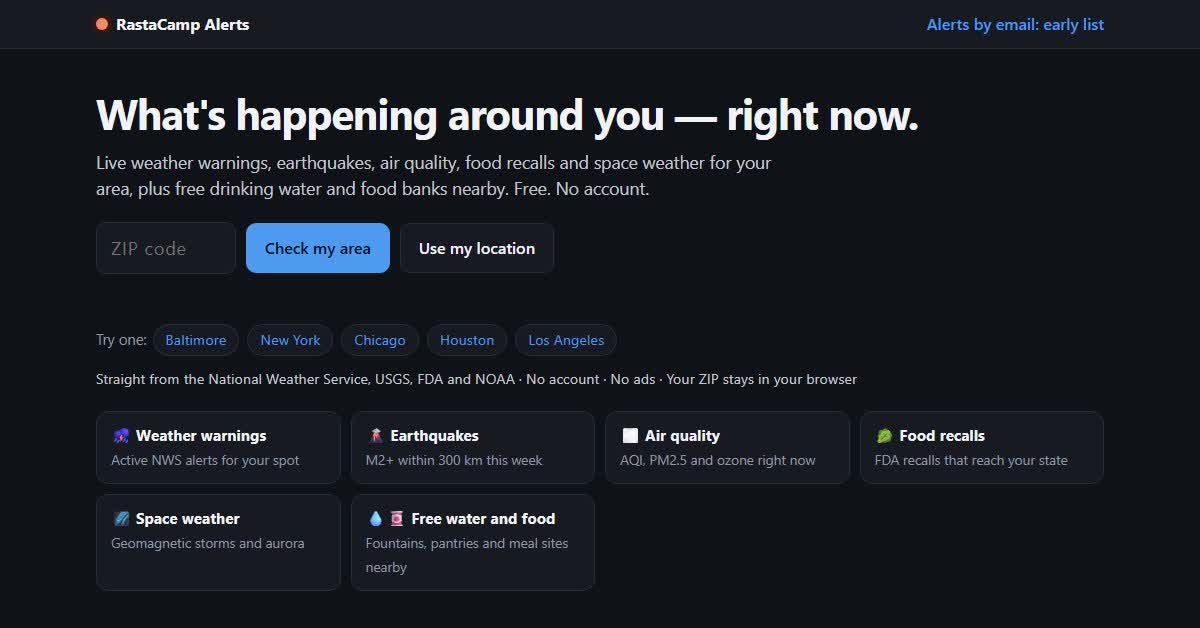
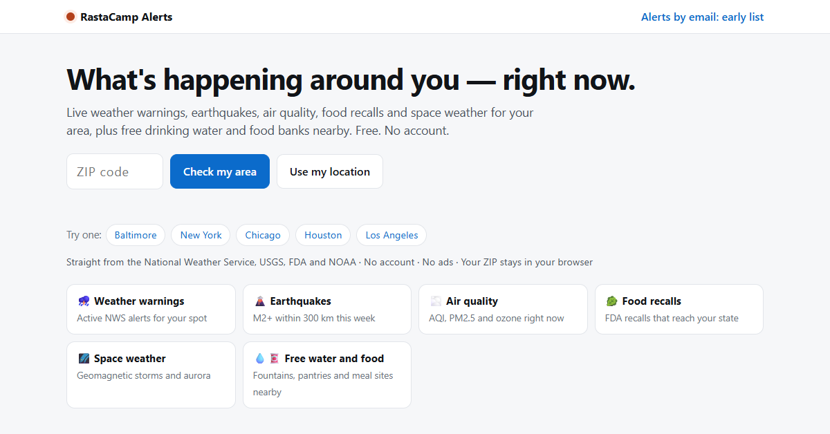
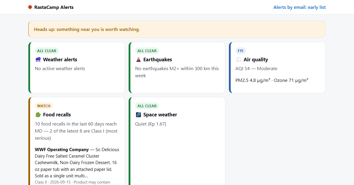
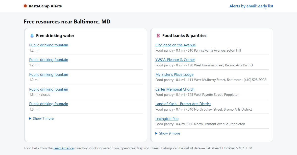
Type your ZIP code and see what's happening around you right now: active weather warnings, earthquakes, air quality, food recalls that reach your state, and space weather. Plus the nearest free drinking water and food banks. Everything comes straight from official sources (National Weather Service, USGS, FDA, NOAA) and open directories. Free, no account, no ads, and your ZIP stays in your browser.
Features
- One ZIP code shows 5 live hazard feeds at once, color-coded from All clear to Danger
- Free drinking water and food pantries near you, with distance, address and directions
- FDA food recalls filtered to your state, with the most serious ones flagged
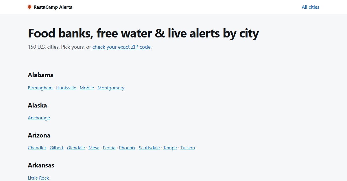
- City guides for 150+ US cities
- No sign-up, no tracking ads, works on any phone
Use Cases
- Check your area before a trip, a storm or a smoky day
- Find free food or water fast, for yourself or someone you're helping
- Keep an eye on a parent's town from far away
- Teachers, churches and outreach workers sharing one simple page

Comments


Hey Fazier! RastaCamp is here, a tiny independent studio. RastaCamp Alerts started with a simple frustration: when a storm, a smoke day or a food recall hits, the information is all public, but it's scattered across five different government sites that nobody checks. So I put them on one page. Type a ZIP code and you see weather warnings, earthquakes, air quality, food recalls for your state and space weather, plus the nearest free drinking water and food banks. It's free, there's no account, no ads, and your ZIP stays in your browser. I'd love your honest feedback: what's missing for your area, and what would make you come back to it?

This is a genuinely useful public service — combining five live hazard feeds with free water and food locations in one ZIP-code lookup is something I haven't seen elsewhere. Sourcing everything from NWS, USGS, FDA and NOAA gives it real credibility. The "keep an eye on a parent's town from far away" use case really resonates. Do you plan to extend coverage beyond the US? The food and water finder model would help a lot of communities elsewhere too.


Premium Products
























Sponsors
Buy
Makers
Makers
Comments
Hey Fazier! RastaCamp is here, a tiny independent studio. RastaCamp Alerts started with a simple frustration: when a storm, a smoke day or a food recall hits, the information is all public, but it's scattered across five different government sites that nobody checks. So I put them on one page. Type a ZIP code and you see weather warnings, earthquakes, air quality, food recalls for your state and space weather, plus the nearest free drinking water and food banks. It's free, there's no account, no ads, and your ZIP stays in your browser. I'd love your honest feedback: what's missing for your area, and what would make you come back to it?
This is a genuinely useful public service — combining five live hazard feeds with free water and food locations in one ZIP-code lookup is something I haven't seen elsewhere. Sourcing everything from NWS, USGS, FDA and NOAA gives it real credibility. The "keep an eye on a parent's town from far away" use case really resonates. Do you plan to extend coverage beyond the US? The food and water finder model would help a lot of communities elsewhere too.
Premium Products
New to Fazier?

Find your next favorite product or submit your own. Made by @FalakDigital.
Copyright ©2026. All Rights Reserved