
Map to GPS
Free GPX generator — draw a route on a map, download a track
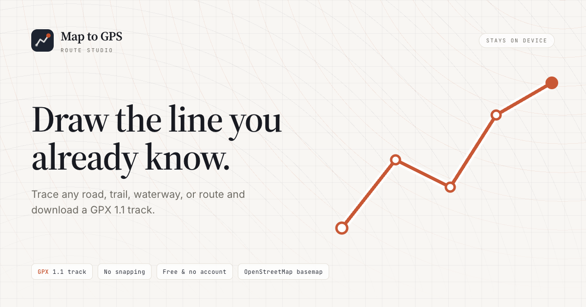
Draw a route by hand on a map and download a GPX 1.1 track for Garmin or phone apps. No road snapping, no account, coordinates stay in the browser.
Features
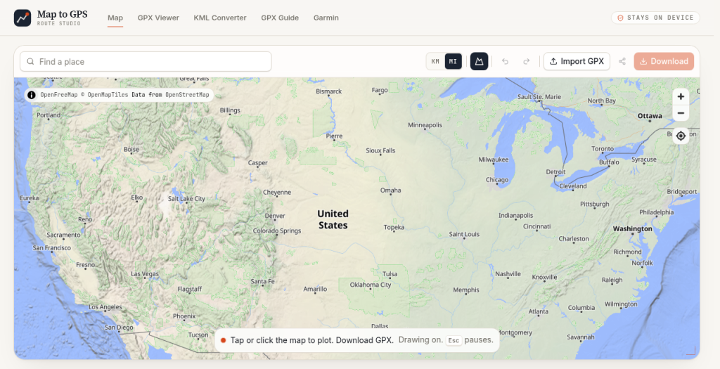
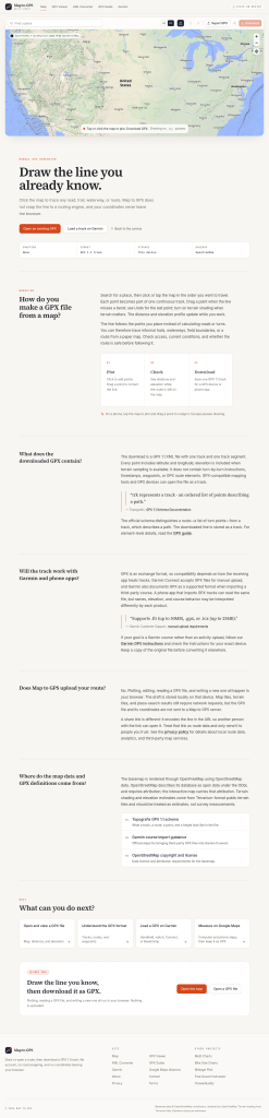
Hand-draw routes on an interactive map
Export GPX 1.1 tracks
Works with Garmin and phone apps
No road snapping or account; coordinates stay in the browser
Use Cases
Plan hikes, bike rides, walks, and trips
Create routes where road snapping is not suitable
Download GPX tracks for Garmin or mobile navigation apps

Comments



The "no road snapping" choice is exactly what makes this useful. Most route tools force-snap to roads and wreck a hiking or backcountry track that deliberately goes off-trail. Keeping coordinates in the browser is a nice privacy touch too. Two questions: can you drop named waypoints along the drawn route, and does the exported GPX include elevation data or just lat/long?


I like the simplicity of this tool. Being able to draw a route exactly how you want without road snapping seems especially useful for hiking, cycling, or off-road trips. I also like that there’s no account required and the coordinates stay in the browser. I’ve been exploring tools like https://getyoutify.com// for discovering useful content online, and I appreciate this same kind of straightforward approach—just a focused tool that does one thing without adding unnecessary complexity.

The no-road-snapping choice is exactly what makes this useful — most route tools assume roads, which breaks down completely for trails and off-road planning. The no-account, in-browser approach is a great privacy call too. One thing that would make it even stronger: an elevation profile preview before export, since a GPX track without elevation context can really surprise you on a hike. Also curious how it handles very long or multi-day tracks performance-wise. Simple tools like this earn their place.
Premium Products


































Sponsors
Buy

Makers
Makers
Comments
The "no road snapping" choice is exactly what makes this useful. Most route tools force-snap to roads and wreck a hiking or backcountry track that deliberately goes off-trail. Keeping coordinates in the browser is a nice privacy touch too. Two questions: can you drop named waypoints along the drawn route, and does the exported GPX include elevation data or just lat/long?
I like the simplicity of this tool. Being able to draw a route exactly how you want without road snapping seems especially useful for hiking, cycling, or off-road trips. I also like that there’s no account required and the coordinates stay in the browser. I’ve been exploring tools like https://getyoutify.com// for discovering useful content online, and I appreciate this same kind of straightforward approach—just a focused tool that does one thing without adding unnecessary complexity.
The no-road-snapping choice is exactly what makes this useful — most route tools assume roads, which breaks down completely for trails and off-road planning. The no-account, in-browser approach is a great privacy call too. One thing that would make it even stronger: an elevation profile preview before export, since a GPX track without elevation context can really surprise you on a hike. Also curious how it handles very long or multi-day tracks performance-wise. Simple tools like this earn their place.
Premium Products
New to Fazier?

Find your next favorite product or submit your own. Made by @FalakDigital.
Copyright ©2026. All Rights Reserved