LinkSight
Instant RF Line of Sight and topographic Android calculator.
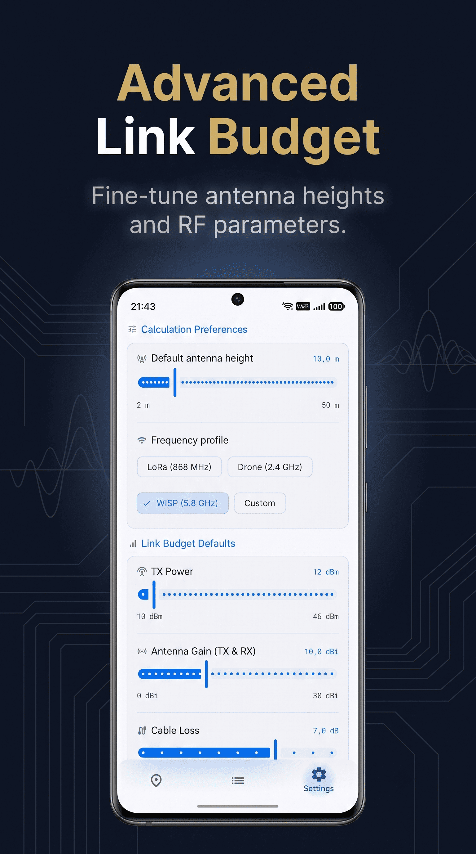
Planning long-range wireless networks, Meshtastic nodes, or flying FPV drones requires knowing if a mountain will block your signal.
Until now, checking this in the field meant fighting with clunky, unoptimized web tools on your mobile browser.
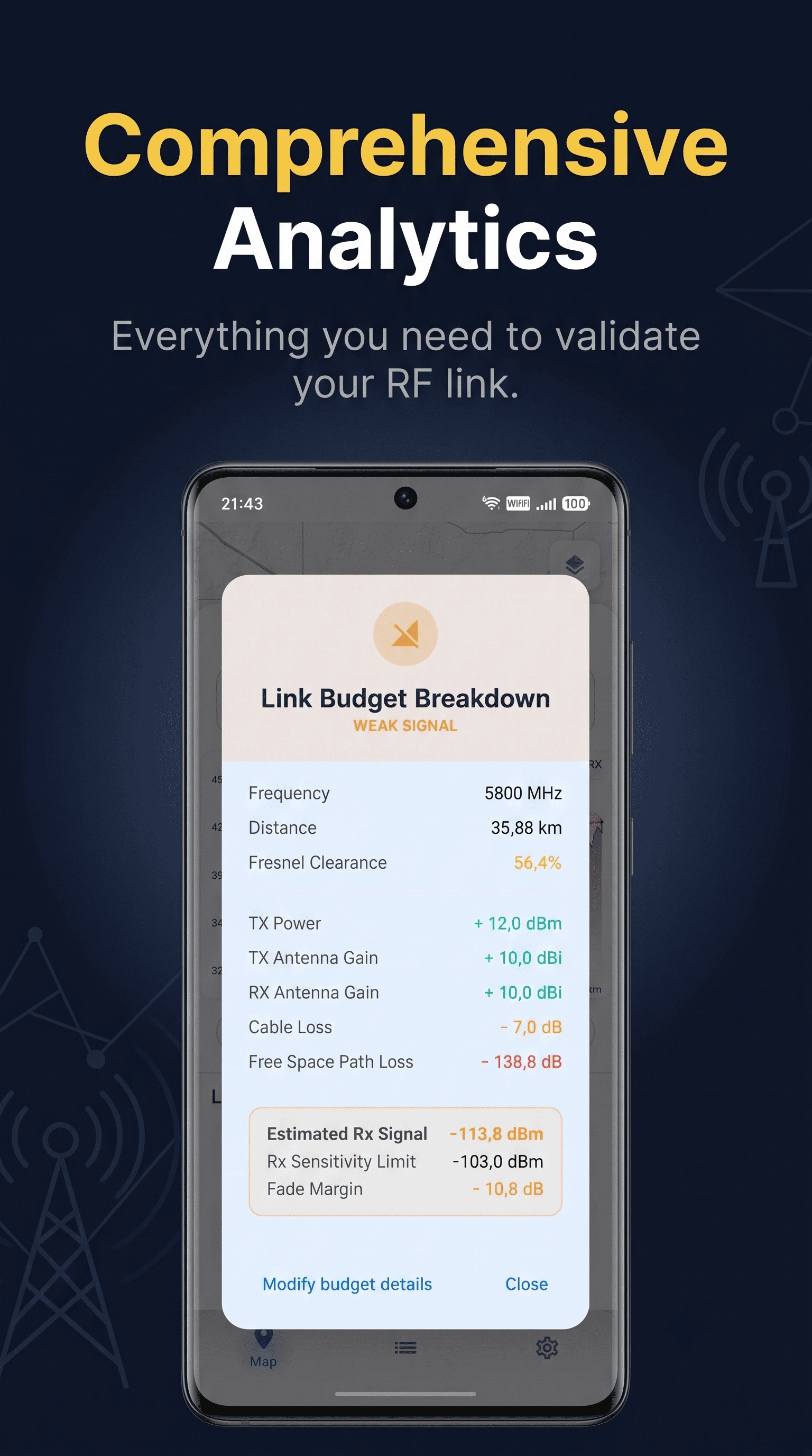
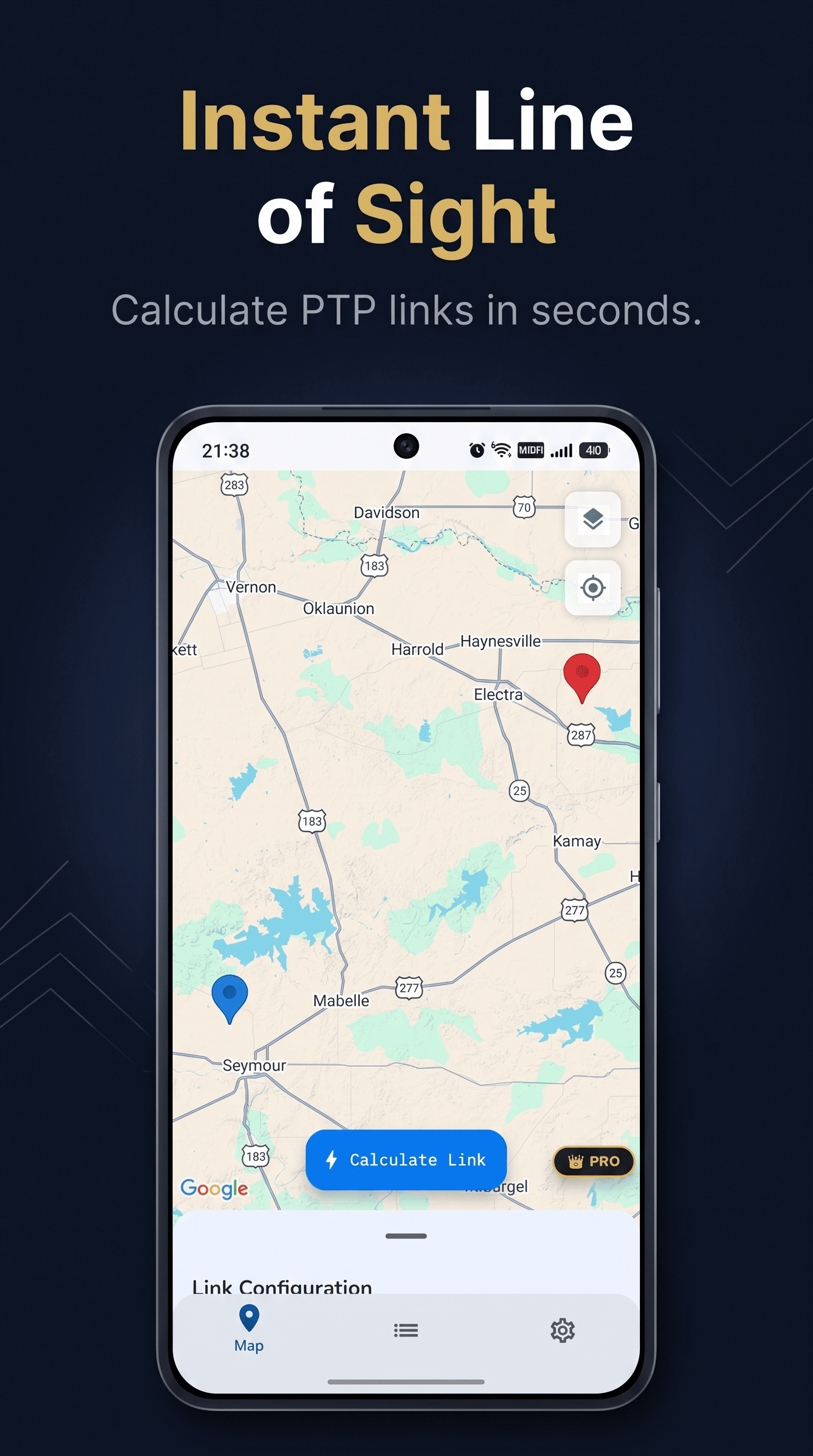
LinkSight is a native Android app built to solve this bottleneck. It brings instant Line of Sight (LOS) and Fresnel zone calculations directly to your pocket, powered by global topographic data.
Core Features:
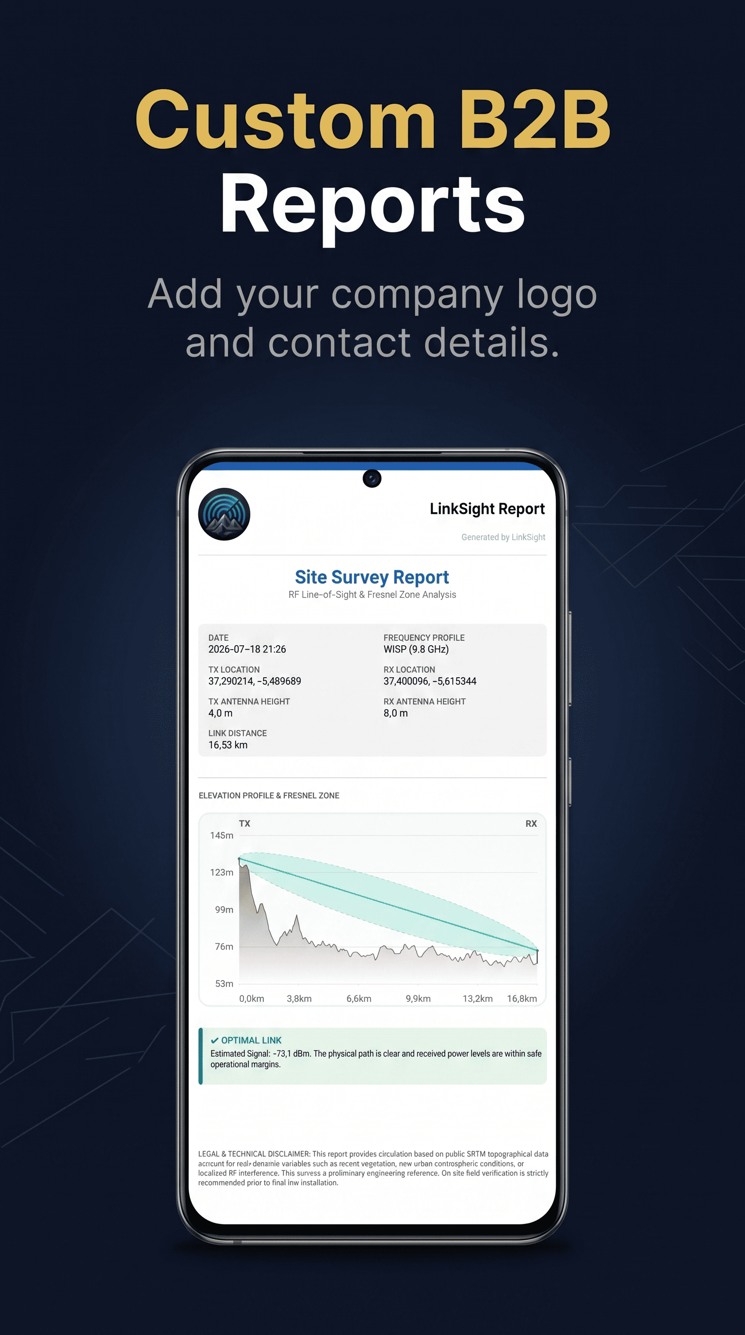
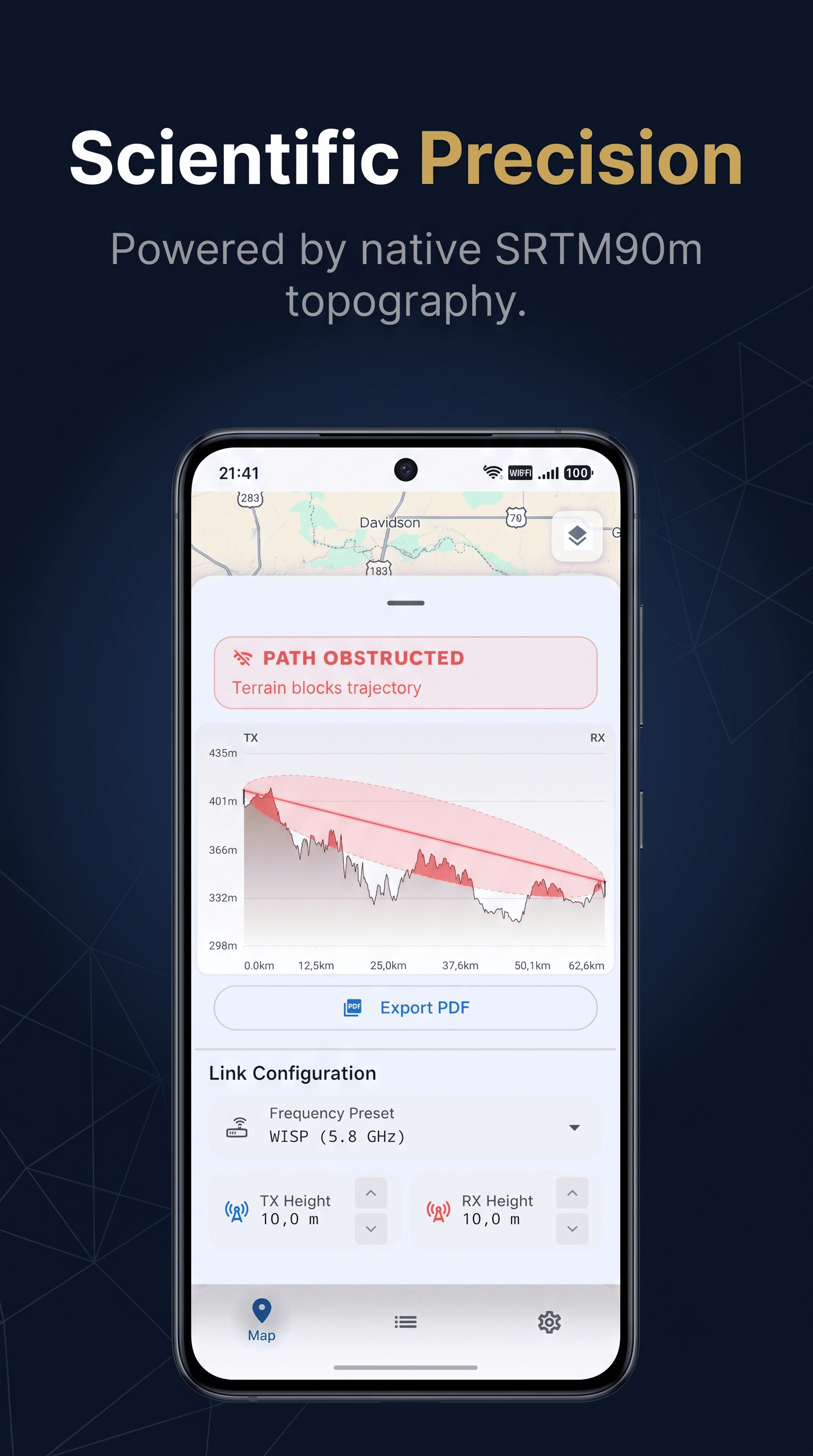
- Instant Terrain Profiles: Get accurate 2D/3D elevation data between two points in milliseconds.
- Fresnel Zone Visualization: Instantly see if hills or obstacles will interfere with your RF signal.
- Native Performance: Built with Jetpack Compose for a smooth, fast, and battery-friendly experience.
- Field-Ready: Designed specifically for on-the-go scenarios where web browsers fail.
Whether you are an RF engineer, an IoT enthusiast, or a drone pilot, LinkSight replaces outdated tools with a modern, native mobile workflow.
Features
Instant Topographic Profiles: Generate highly accurate 2D/3D elevation data between two points in milliseconds.
Fresnel Zone Visualization: See immediately if hills, terrain, or obstacles will block your RF signal.
Native Android Performance: Built natively to be fast, smooth, and battery-friendly compared to clunky web-based maps.
Global Coverage: Calculate reliable Line of Sight (LOS) anywhere in the world using high-precision elevation data.
Field-Ready Interface: Designed for on-the-go outdoor planning where desktop browsers fail
Use Cases
Meshtastic & LoRa Enthusiasts: Users building off-grid mesh networks and needing to test node-to-node visibility.
FPV Drone Pilots: Long-range pilots who need to ensure radio and video links won't drop behind mountains.
WISP Installers: Wireless Internet Service Providers planning antenna deployments and client coverage.
RF Engineers & Techs: Telecom professionals needing quick, on-the-fly calculations without opening their laptops.
IoT Network Deployers: People setting up Helium miners, agricultural sensors, or remote data stations.

Comments


Hi everyone! 👋 I built LinkSight to solve a common headache: checking Line of Sight (LOS) and Fresnel zones on mobile using clunky, battery-draining desktop web tools. To fix this, I created a native Android app designed for fast, field-ready terrain profiling for Meshtastic users, WISP installers, and FPV pilots. As a solo indie dev, your input shapes the roadmap. What is your biggest challenge when planning wireless links on the go? I'm here all day to answer questions and chat. Thanks for checking it out! 🚀
Premium Products



























Sponsors
Buy
Makers
Makers
Comments
Hi everyone! 👋 I built LinkSight to solve a common headache: checking Line of Sight (LOS) and Fresnel zones on mobile using clunky, battery-draining desktop web tools. To fix this, I created a native Android app designed for fast, field-ready terrain profiling for Meshtastic users, WISP installers, and FPV pilots. As a solo indie dev, your input shapes the roadmap. What is your biggest challenge when planning wireless links on the go? I'm here all day to answer questions and chat. Thanks for checking it out! 🚀
Premium Products
New to Fazier?

Find your next favorite product or submit your own. Made by @FalakDigital.
Copyright ©2026. All Rights Reserved