Light Pollution Map
Find dark sky spots and check Bortle ratings anywhere
Features
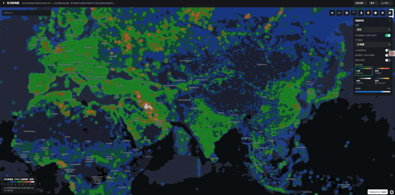
Click anywhere on the map for instant Bortle scale and SQM sky brightness readings
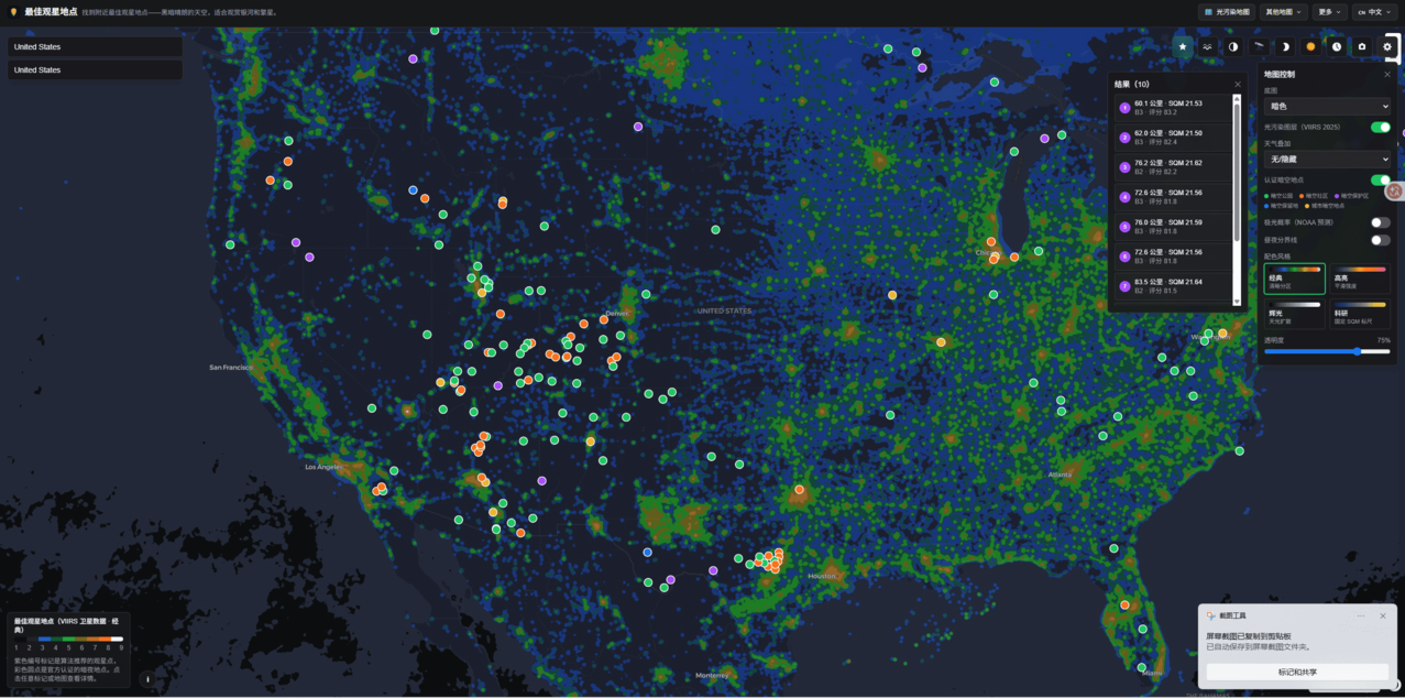
Dark sky location finder with certified dark sky parks and communities
Aurora probability layer based on NOAA forecasts
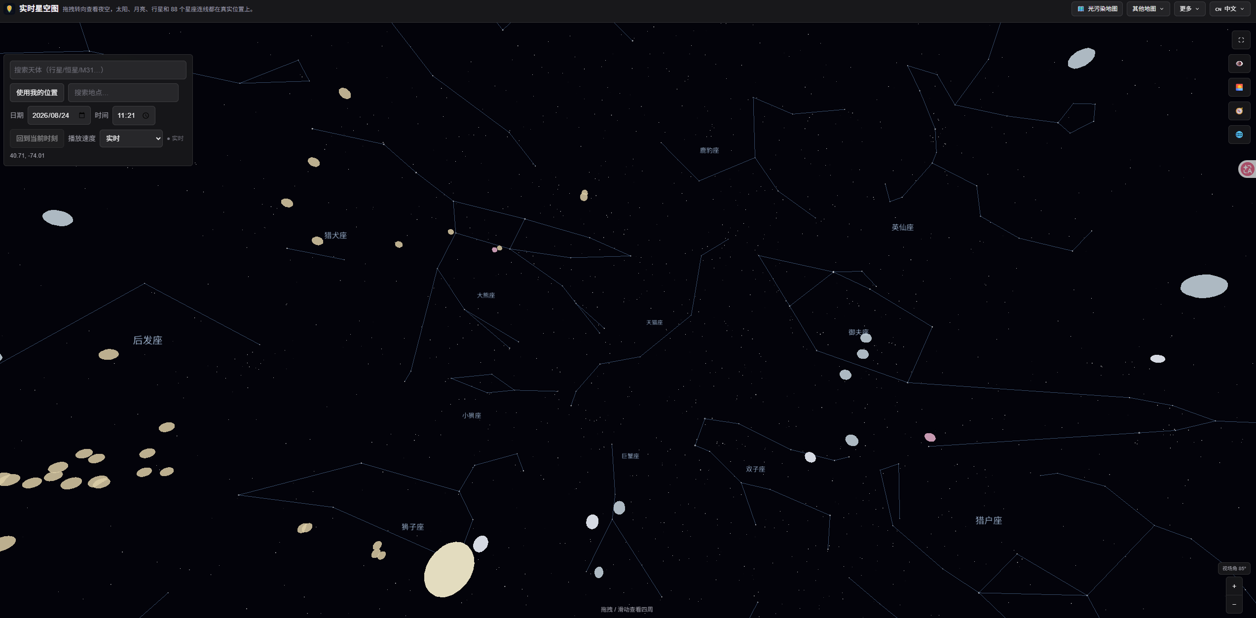
Day/night terminator and moon phase overlays
Meteor shower matching to find dark viewing spots
Weather overlay (clouds, precipitation) for planning trips
Photo-based sky brightness analysis
Use Cases
Stargazers planning trips to the darkest nearby sky
Astrophotographers estimating exposure times before a shoot
Finding certified dark sky parks and communities near you
Planning meteor shower and aurora viewing sessions

Comments


The Light Pollution Map highlights how thoughtfully managed lighting can shape the nighttime environment. For readers interested in practical lighting solutions, the Lithonia Lighting LDN6 offers a low-profile recessed LED design with adjustable color temperatures, dimming capability, and efficient illumination for residential and light commercial spaces. It provides a useful reference point for considering how modern indoor lighting can balance visibility, comfort, and responsible energy use.Visit now https://lithonia-lighting.com/led-lighting-ldn6/

The Bortle scale integration is genuinely useful here. Most astronomy tools just show sky brightness as a raw number without context. Bortle gives stargazers an actual reference frame - a dark sky from a certified dark sky park (Bortle 1-2) is fundamentally different from suburban skies (Bortle 6-7). The satellite data layer combined with weather overlays solves a real planning problem for astrophotographers. You can check conditions at multiple locations before committing to a drive, and the aurora probability layer means aurora hunters actually have actionable forecasts instead of just guessing. The photo-based sky brightness analysis is clever because it lets people contribute real observations to refine the model. This is the kind of tool that makes outdoor planning actually scientific instead of based on hope.



Light Pollution Map Your product has strong potential, but I found a few key improvements that could make it even better. I'd love to share my feedback and suggestions—please contact me at [email protected].
Premium Products































Sponsors
Buy

Comments
The Light Pollution Map highlights how thoughtfully managed lighting can shape the nighttime environment. For readers interested in practical lighting solutions, the Lithonia Lighting LDN6 offers a low-profile recessed LED design with adjustable color temperatures, dimming capability, and efficient illumination for residential and light commercial spaces. It provides a useful reference point for considering how modern indoor lighting can balance visibility, comfort, and responsible energy use.Visit now https://lithonia-lighting.com/led-lighting-ldn6/
The Bortle scale integration is genuinely useful here. Most astronomy tools just show sky brightness as a raw number without context. Bortle gives stargazers an actual reference frame - a dark sky from a certified dark sky park (Bortle 1-2) is fundamentally different from suburban skies (Bortle 6-7). The satellite data layer combined with weather overlays solves a real planning problem for astrophotographers. You can check conditions at multiple locations before committing to a drive, and the aurora probability layer means aurora hunters actually have actionable forecasts instead of just guessing. The photo-based sky brightness analysis is clever because it lets people contribute real observations to refine the model. This is the kind of tool that makes outdoor planning actually scientific instead of based on hope.
Light Pollution Map Your product has strong potential, but I found a few key improvements that could make it even better. I'd love to share my feedback and suggestions—please contact me at [email protected].
Premium Products
New to Fazier?

Find your next favorite product or submit your own. Made by @FalakDigital.
Copyright ©2026. All Rights Reserved