LandLens
LandLens
Measure land on your phone with GPS or a satellite map
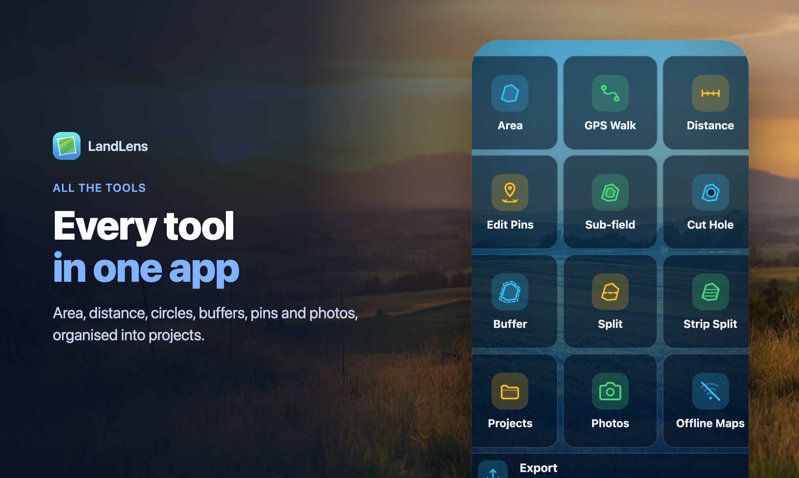
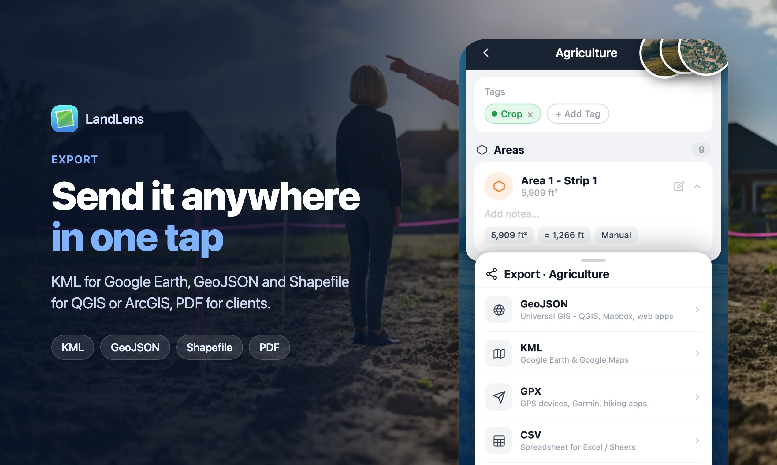
Features
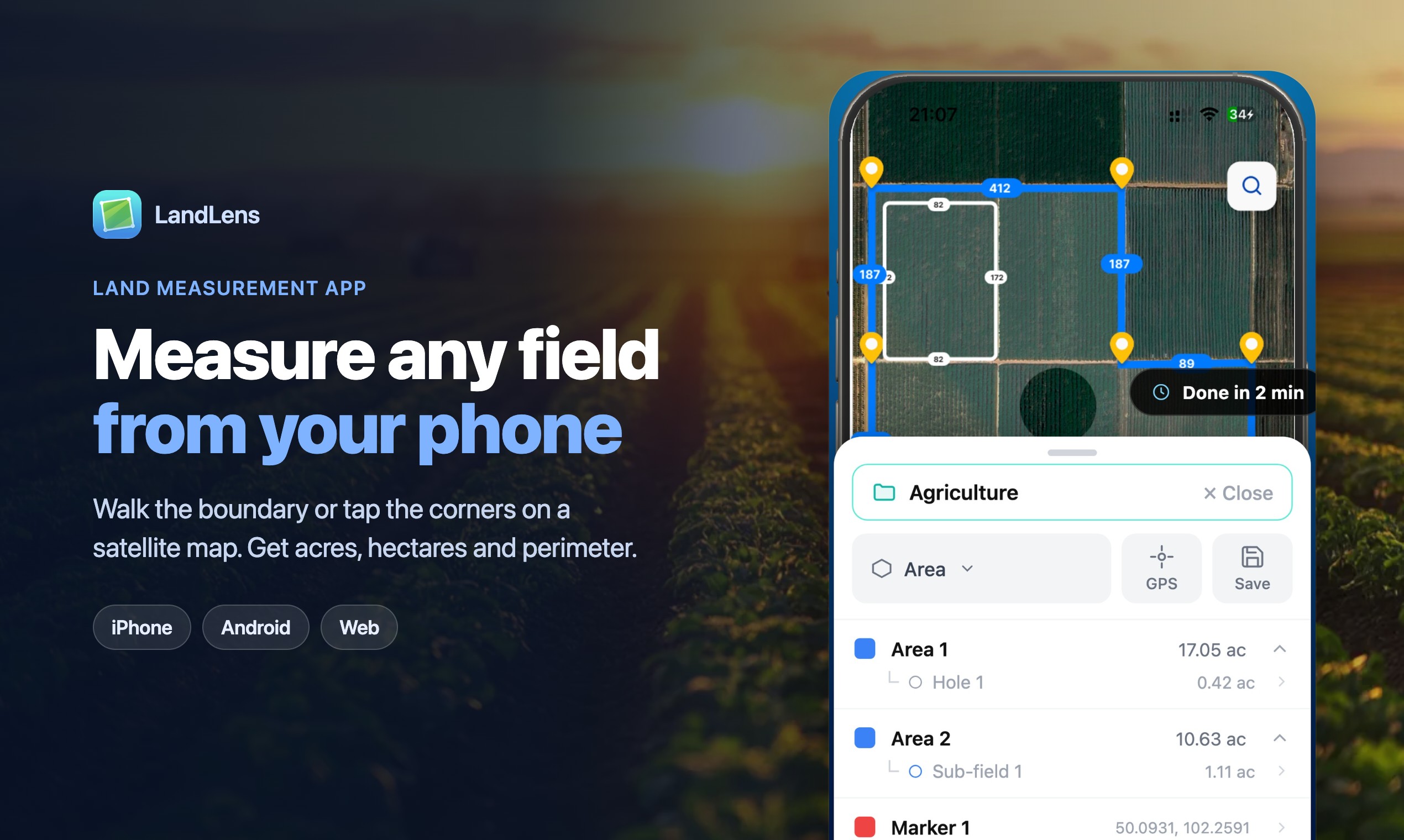
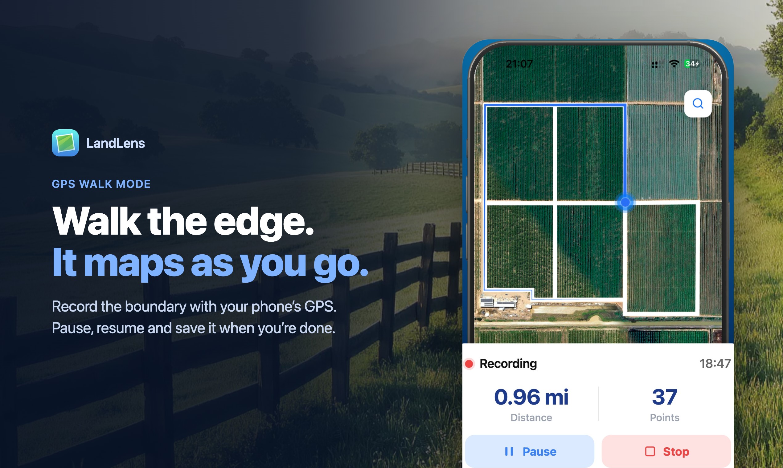
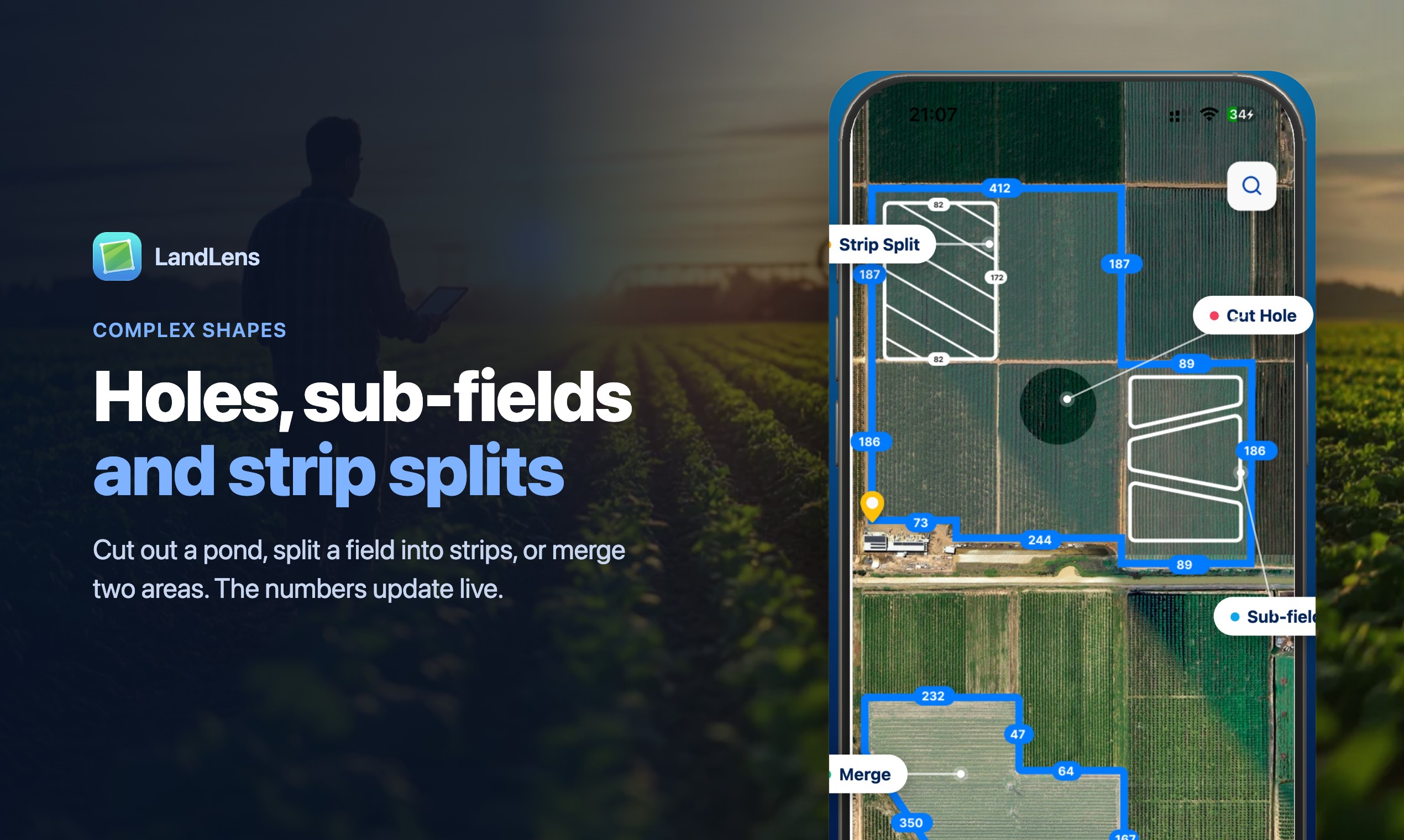
GPS walk mode or tap-to-draw on satellite imagery. Curved edges, circles and cut-out holes. Sub-fields, strip splits and merging. Undo for every edit. Export to KML, KMZ, GeoJSON, Shapefile and PDF.
Use Cases
Farmers checking field sizes before planting or buying inputs. Landowners and buyers sizing up a plot. Hunters mapping a lease. Contractors and landscapers measuring fence lines or lawn area for a quote.

Comments


Solo developer building LandLens, an app...
Premium Products









































Find your next favorite product or submit your own. Made by @FalakDigital.
Copyright ©2026. All Rights Reserved