Geo-Tag-It
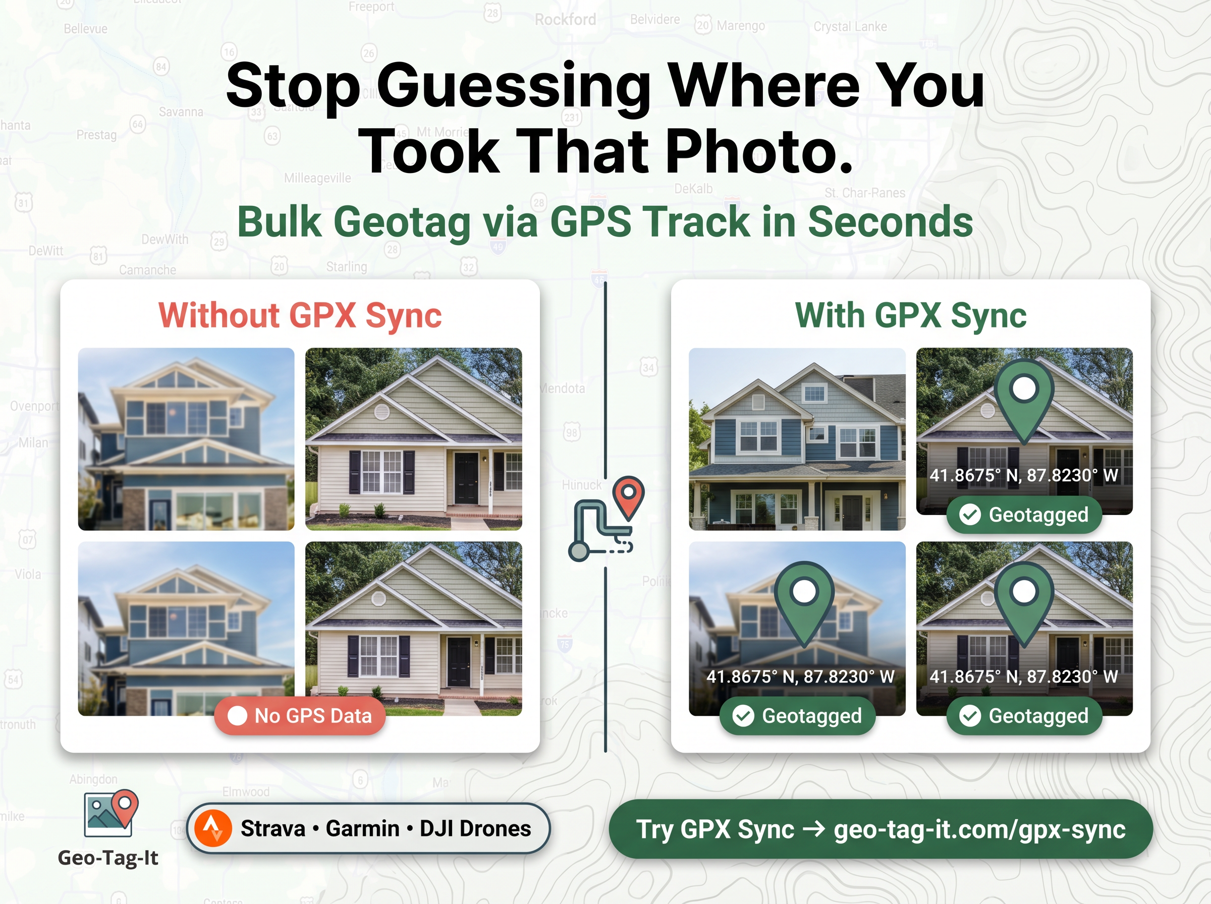
Batch geotag photos in seconds, directly in your browser
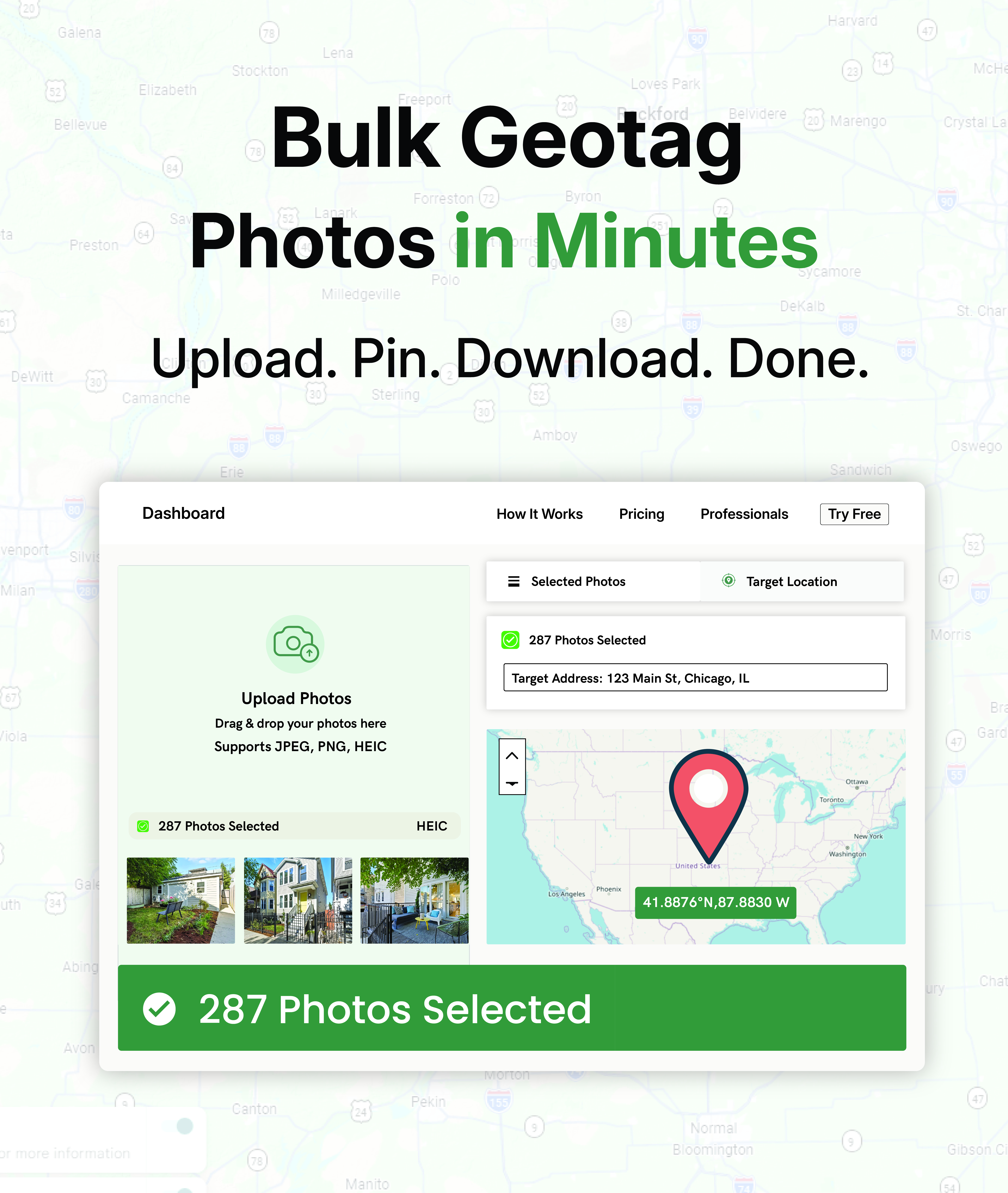
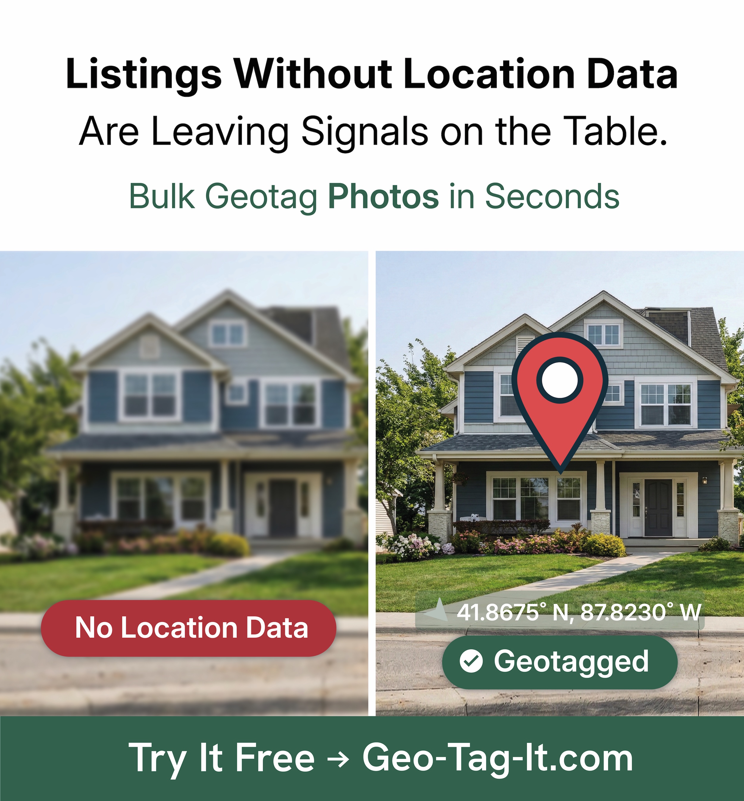
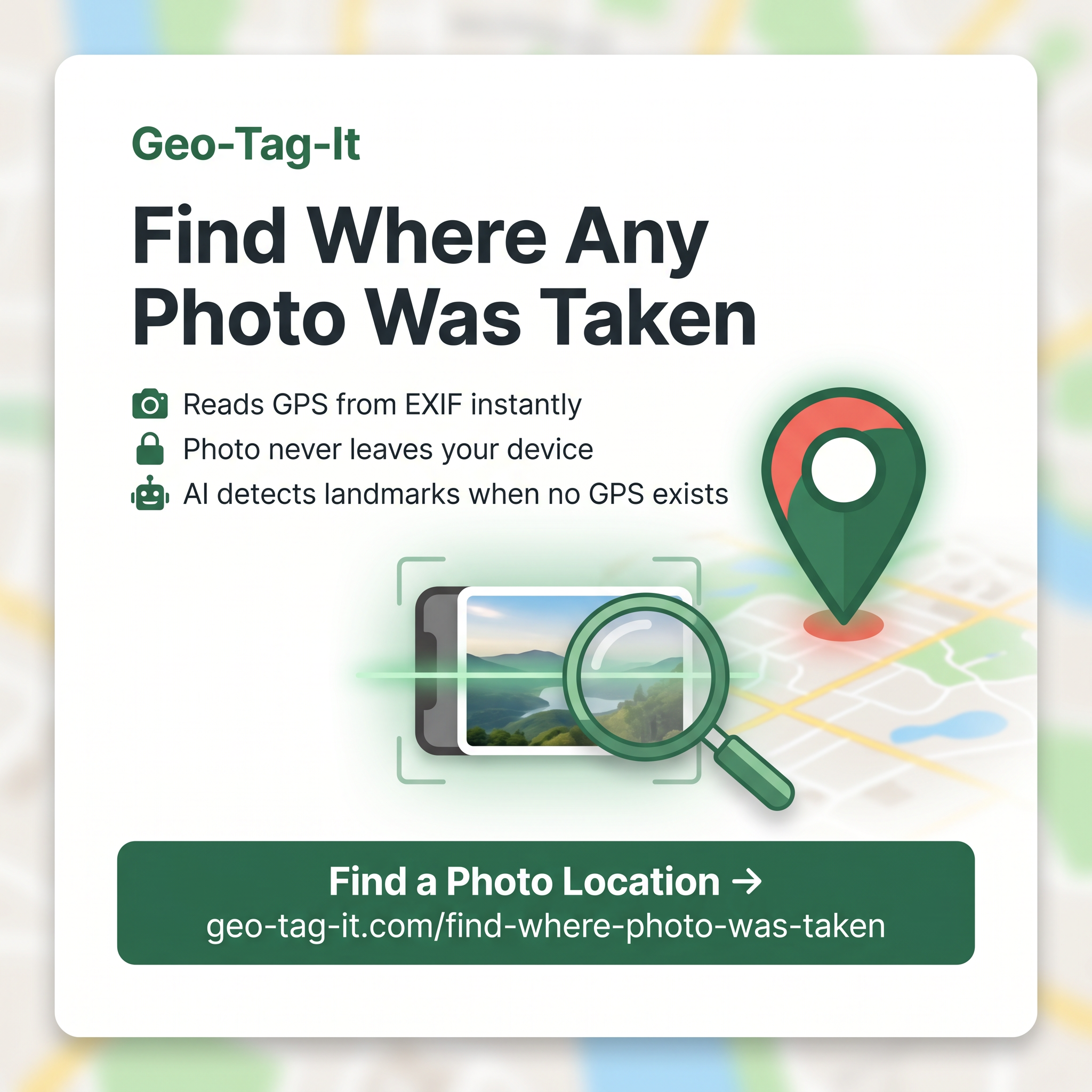
Geo-Tag-It is a browser-based batch geotagging tool designed to help local SEOs and marketing agencies embed precise GPS coordinates into client photos before uploading to Google Business Profiles and local directories.
Features
Key Features
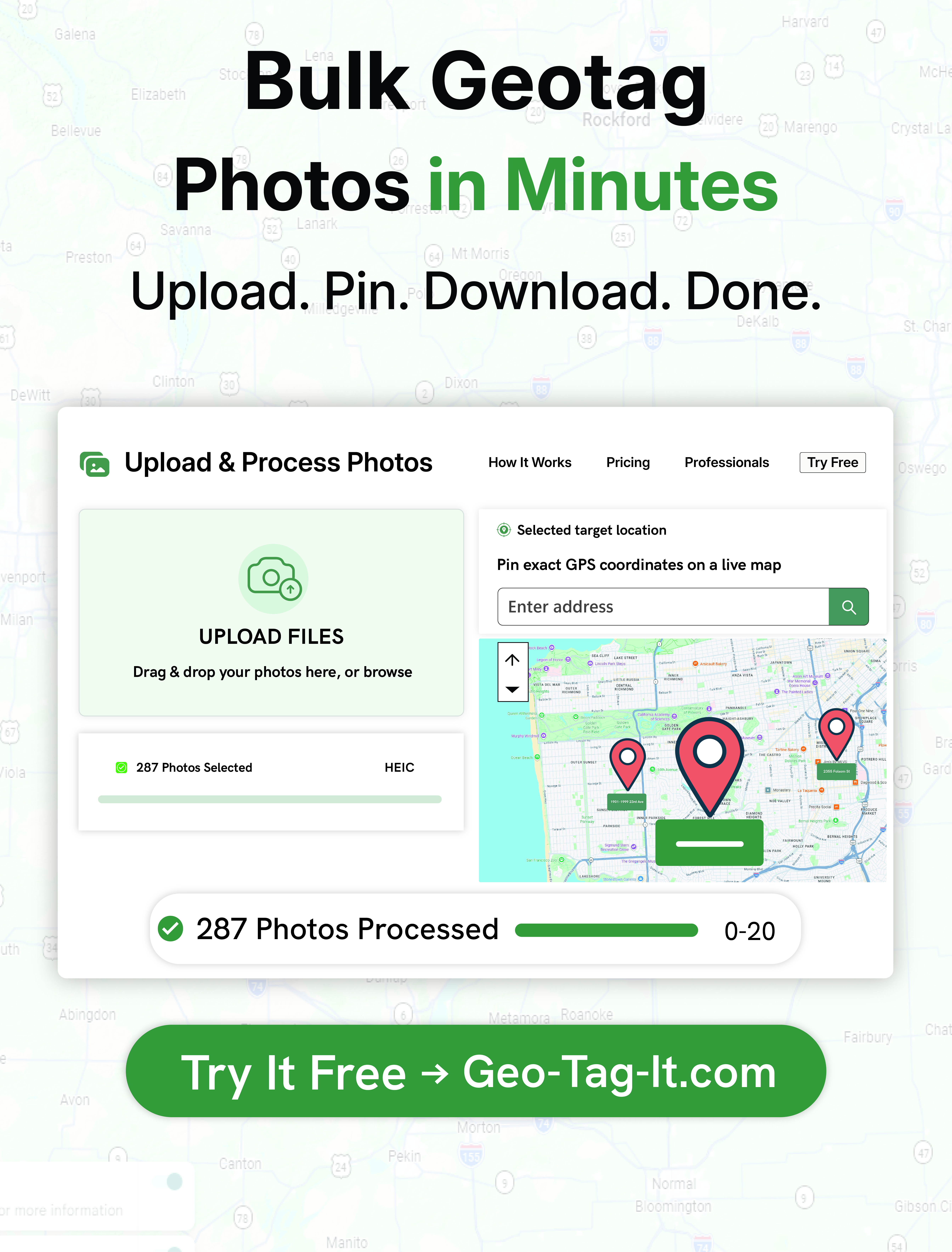
- Bulk GPS embedding for hundreds of JPG, PNG, and HEIC photos at once
- Map-based pin dropping, address autocomplete, or direct decimal coordinate entry
- Preserves genuine camera EXIF metadata with no fake hardware spoofing
- 100% private client-side processing with zero server-side photo storage
Use Cases
Use Cases
- Google Business Profile optimization: Tag job-site and storefront images with service-area coordinates
- Local landing pages: Add geo-relevance to on-page gallery images across multi-location sites
- Client delivery packs: Deliver organized, geo-tagged image sets to agency clients

Comments



Nice that the processing stays client-side. Two honest questions: Google Business Profile strips EXIF from photos on upload, so have you seen measurable ranking impact from geotagged images there, or is the value mainly for your own site's galleries and other directories? And since address autocomplete has to hit a geocoding service, does anything about the photos (filenames, existing EXIF) travel with that request, or only the typed address?



Preserving the original camera metadata while editing GPS is a useful distinction. For a batch containing photos from several locations, is there a preview of existing coordinates and an option to update only photos that have no GPS? That would help prevent accidentally replacing correct location data across a mixed album.
Premium Products





































Sponsors
Buy
Makers

Makers
Comments
Nice that the processing stays client-side. Two honest questions: Google Business Profile strips EXIF from photos on upload, so have you seen measurable ranking impact from geotagged images there, or is the value mainly for your own site's galleries and other directories? And since address autocomplete has to hit a geocoding service, does anything about the photos (filenames, existing EXIF) travel with that request, or only the typed address?
Preserving the original camera metadata while editing GPS is a useful distinction. For a batch containing photos from several locations, is there a preview of existing coordinates and an option to update only photos that have no GPS? That would help prevent accidentally replacing correct location data across a mixed album.
Premium Products
New to Fazier?

Find your next favorite product or submit your own. Made by @FalakDigital.
Copyright ©2026. All Rights Reserved